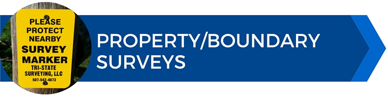
We provide property/boundary surveying services of all scopes and sizes. Each survey we perform involves a thorough search of historical records and an in-depth field survey recovering existing survey monuments, lines of occupation and other features that may impact the location of your property lines. Once this is complete we conduct a detailed analysis of all of the collected information by applying the appropriate boundary law doctrines before providing our professional opinion of the location of your property lines.
If a conflict or dispute arises from a survey, we believe in taking the necessary steps to help resolve the situation in the most cost effective manner. We are able to provide consulting services to all parties involved to work towards a resolution. If needed we can also provide assistance in the negotiation, settlement or litigation processes by working directly with your attorneys providing expertise and direction.
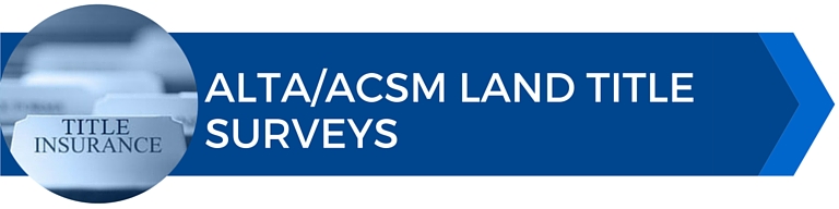
An ALTA/ACSM Land Title Survey is a comprehensive boundary survey that is prepared to the current ALTA/ACSM minimum standards. ALTA/ACSM Surveys provide lending institutions or title companies the information needed for the issuing of title or mortgage insurance. ALTA/ACSM Surveys often include additional topographic, flood zone, and zoning information that would typically not be included on a boundary survey.
If you interested in a ALTA/ACSM Survey, please contact us to discuss the Table A options available to best suit your project.
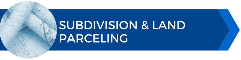
With subdivision and zoning regulations becoming more restrictive in recent years, deciphering the allowable uses can seem overwhelming. Our knowledge and experience in the local codes and regulations and personal relationship with many local government planning authorities allows us to aid you through the subdivision process in a smooth and efficient manner. From initial consultations with local authorities to performing presentations for final approval we are willing to go the extra mile to assure your project turns into a success.
Providing a quality topographic survey for any project requires a great attention to detail to assure all features are located and that they are mapped precisely and accurately. We provide topographic surveys of all sizes and scope and utilize the latest technologies in field and office equipment to deliver a quality product in a timely and efficient manner.
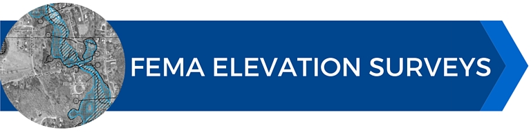
Need an elevation certificate or would like to remove your property from a flood zone? Tri-State Surveying can provide you with the necessary documentation and will work with FEMA agents throughout the process to deliver the final product in a timely manner.
Elevation Certificates
Letter of Map Amendments (LOMA)
Letter of Map Revisions (LOMR)
Construction layout is a critical part of any construction project. Having a professional surveyor meticulously reviewing plans before the project starts and onsite for layout prevents costly errors and delays. We provide layout and staking services of all scopes and sizes from small residential sites to large industrial or commercial sites.